
Crónicas Visuales del Extremo Sur — Libros de Historia, Fotografía y Cartografía de la Patagonia, Tierra del Fuego y la Antártica.
EXPLORAR CATÁLOGOMAPTERRA ediciones
MAPTERRA ediciones es una editorial independiente especializada en el diseño de proyectos propios sobre la Patagonia, Tierra del Fuego y la Antártica. Creamos libros de historia, fotografía y mapas cartográficos impresos en Stone Paper. Avalan nuestro trabajo más de 30 años recorriendo, documentando y fotografiando esta hermosa región de geografía extrema.
MAPTERRA ediciones is an independent publishing house specialized in designing custom projects about Patagonia, Tierra del Fuego, and Antarctica. We create history books, photography books, and cartographic maps printed on Stone Paper. Our work is backed by over 30 years of exploring, documenting, and photographing this beautiful region of extreme geography.
Ediciones Bilingües de Alta Calidad
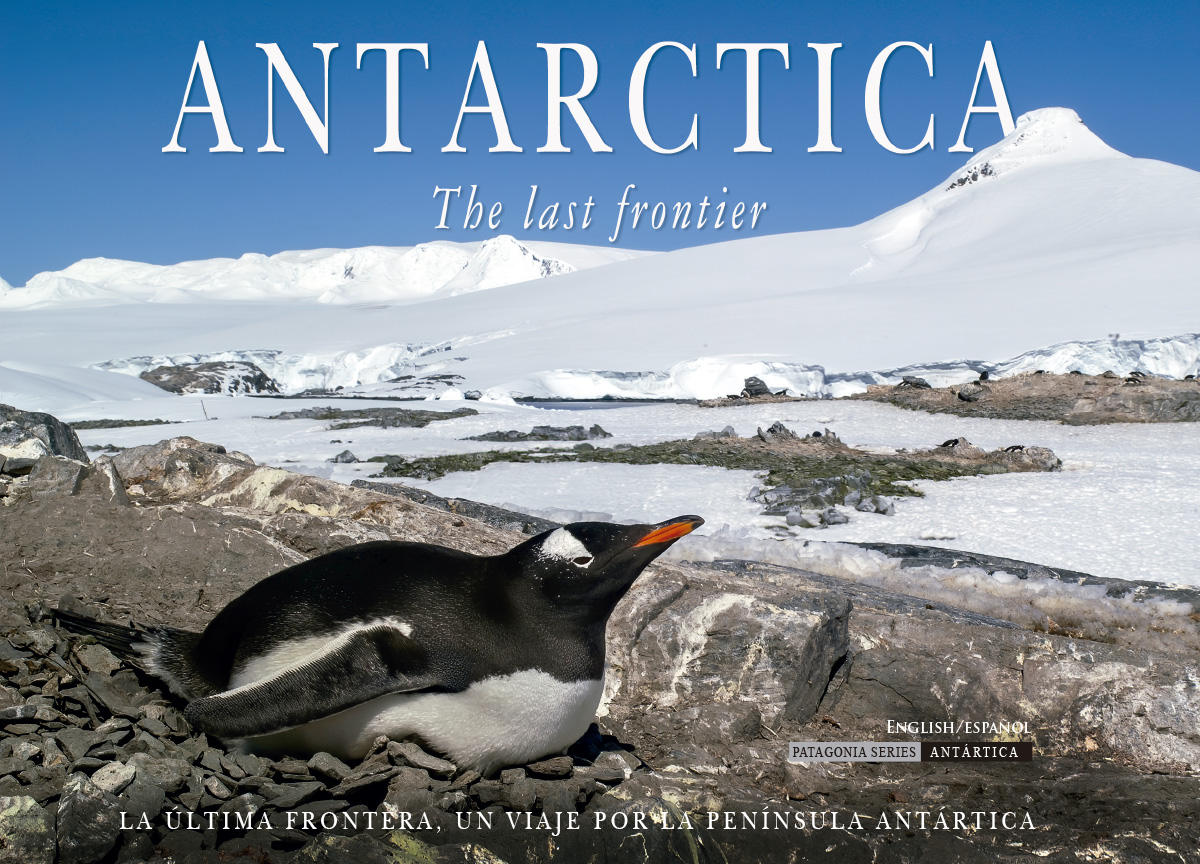
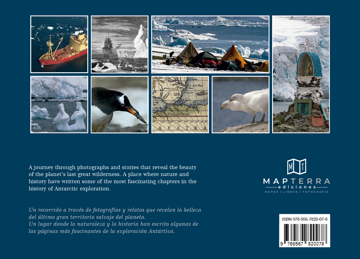
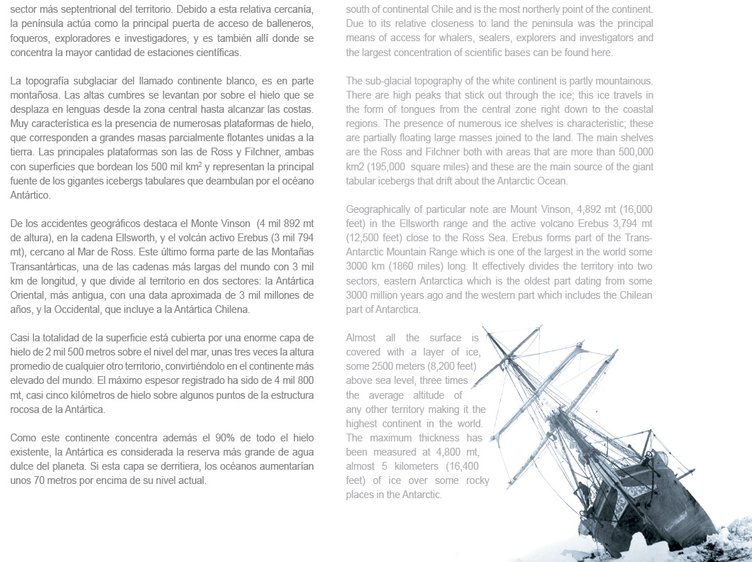
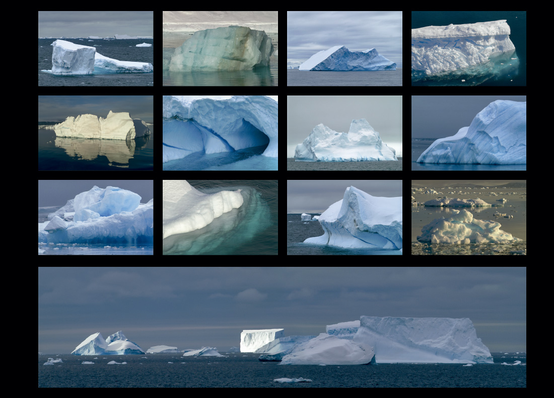
Un recorrido a través de fotografías y relatos que revelan la belleza del último gran territorio salvaje del planeta; un lugar donde la naturaleza y la historia han escrito algunas de las páginas más fascinantes de la exploración polar. A través de sus páginas, viajamos desde el Canal Beagle hasta la Isla James Ross, documentando la magnitud y la geografía de estos parajes tan remotos.
A journey through photographs and stories that reveal the beauty of the planet's last great wilderness. A place where nature and history have written some of the most fascinating chapters in the history of Antarctic exploration. From the Beagle Channel to James Ross Island, it documents remote landscapes.
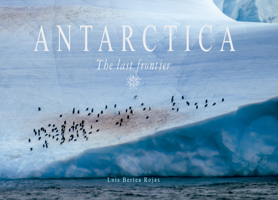
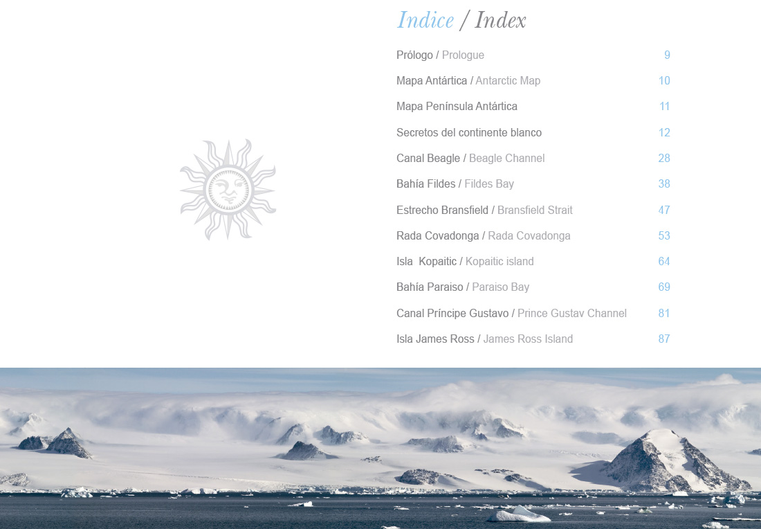
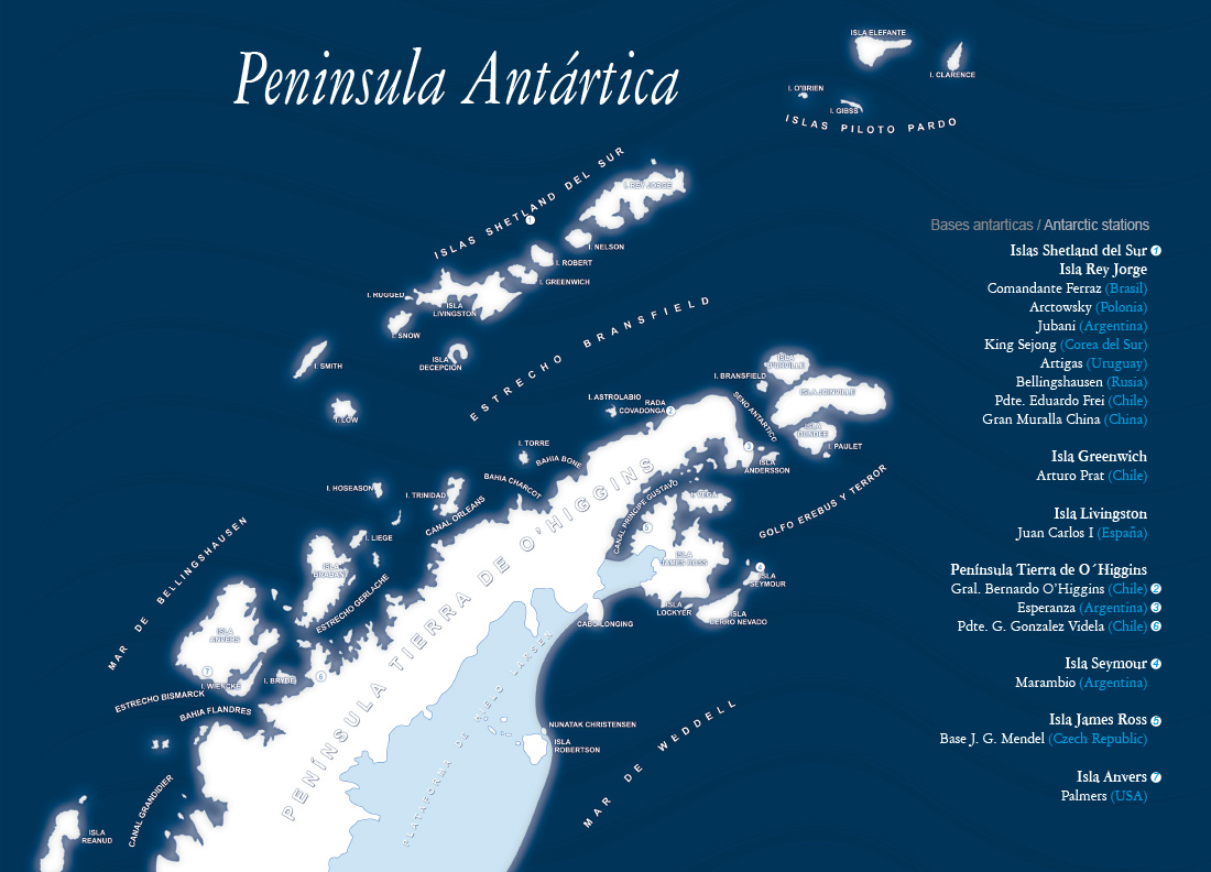
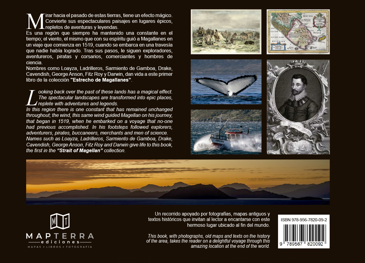
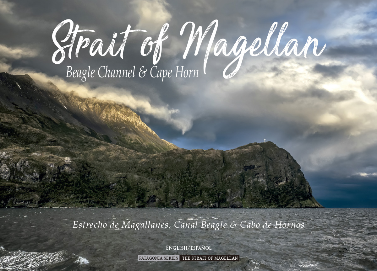
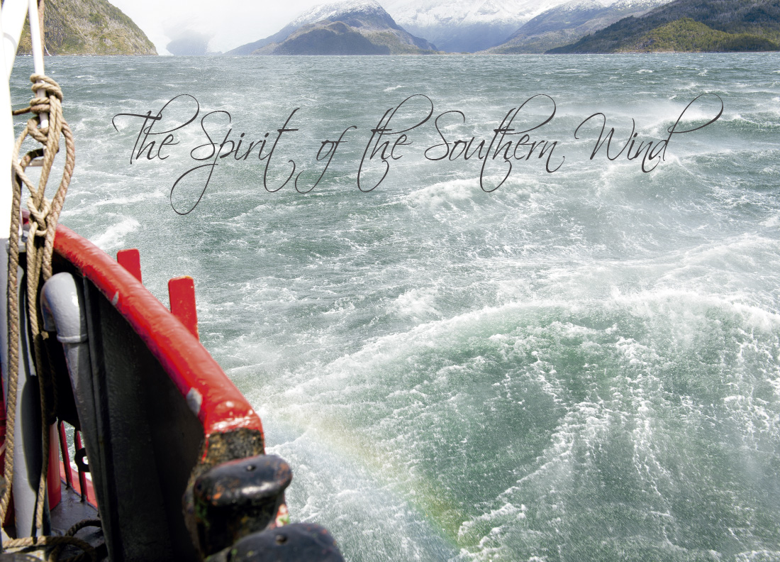
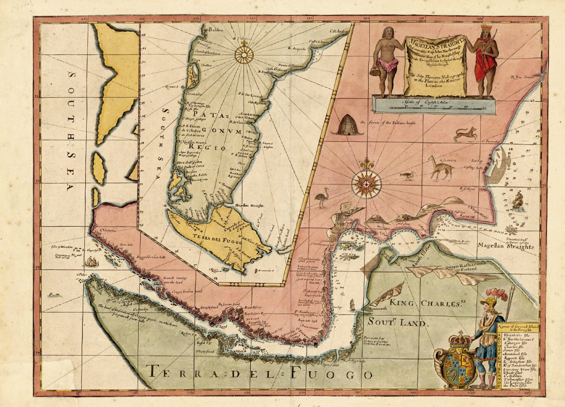
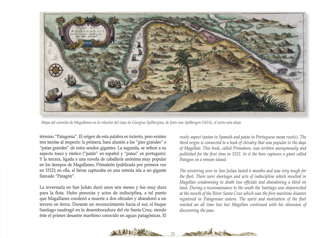
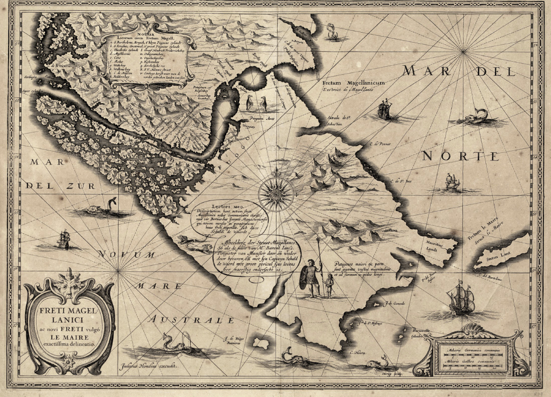
Un viaje por la historia y el paisaje apoyado por fotografías, mapas antiguos y textos históricos que invitan al lector a encantarse con este territorio ubicado al fin del mundo. Explora las rutas de célebres navegantes como Magallanes, Fitz Roy y Darwin en un recorrido épico donde el viento y la geografía han forjado leyendas durante siglos.
Looking back over the past of these lands has a magical effect. The spectacular landscapes are transformed into epic places, replete with adventures and legends. In this region there is one constant that has remained unchanged throughout; the wind. This book, with photographs, old maps and historical texts on the history of the area, takes the reader on a delightful voyage through this amazing location at the end of the world.
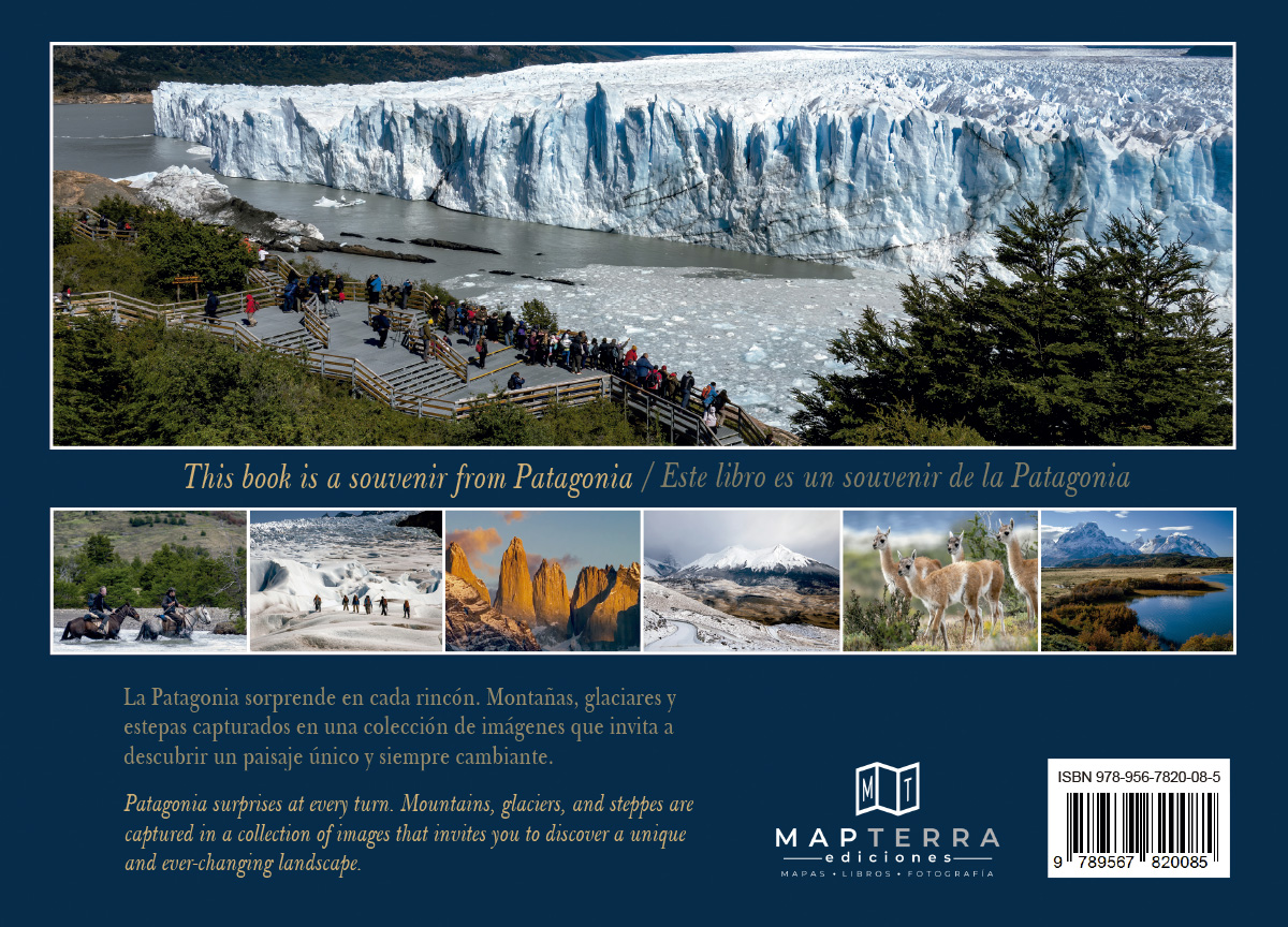
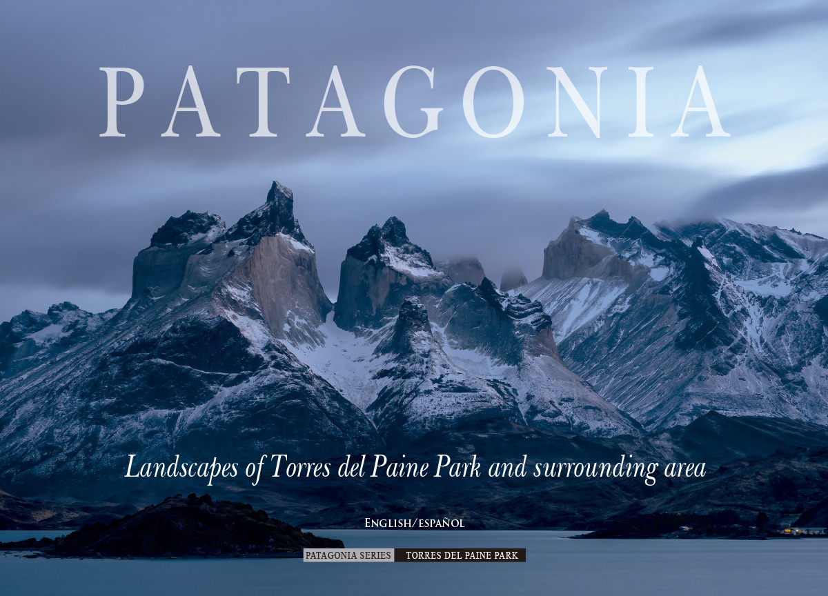
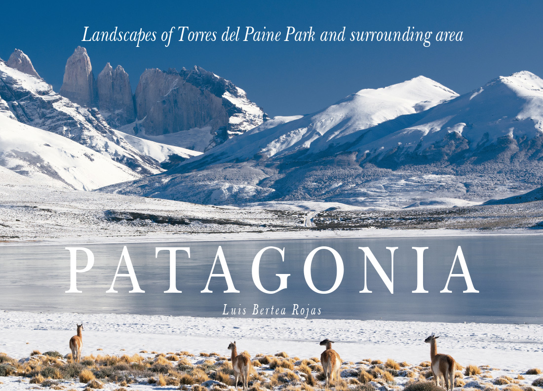
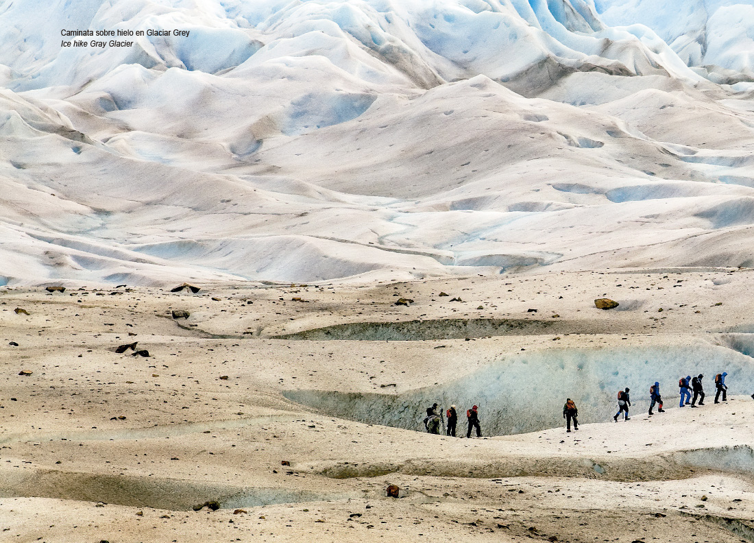
La Patagonia sorprende en cada rincón. Montañas, glaciares y estepas se capturan en una colección de imágenes que invita a descubrir un paisaje único y siempre cambiante. En estas páginas encontrarás fotografías del Parque Nacional Torres del Paine y sus alrededores en Chile, así como de El Chaltén, El Calafate y el glaciar Perito Moreno en Argentina.
Patagonia surprises at every turn. Mountains, glaciers, and steppes are captured in a collection of images that invites you to discover a unique and ever-changing landscape. This book is a beautiful souvenir from Patagonia, presenting the visual strength of Torres del Paine National Park and its surrounding area.
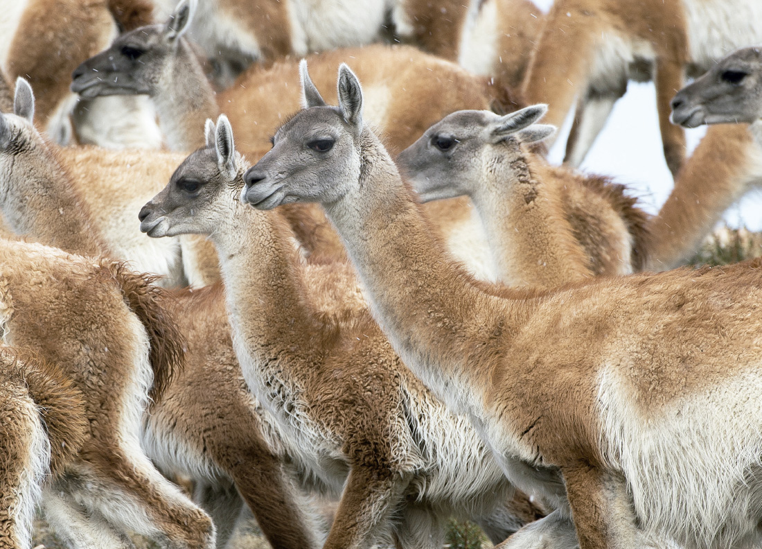
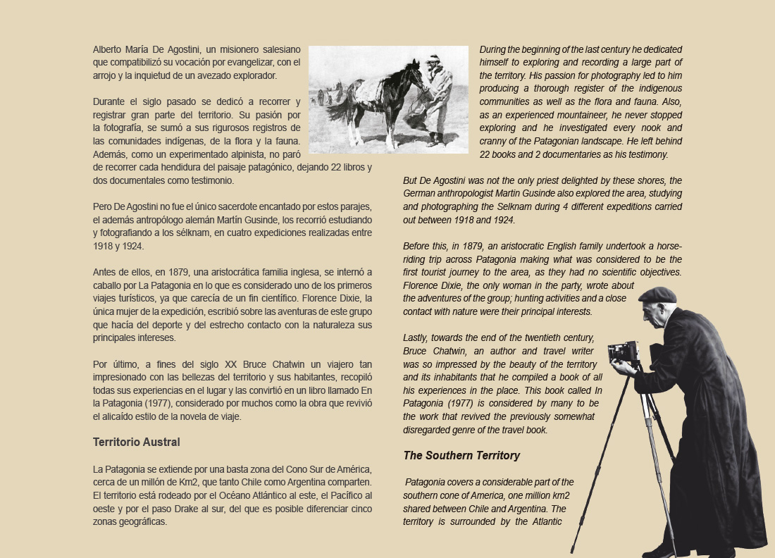
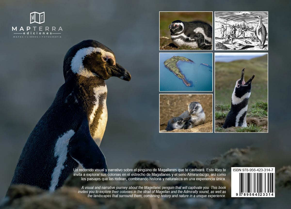
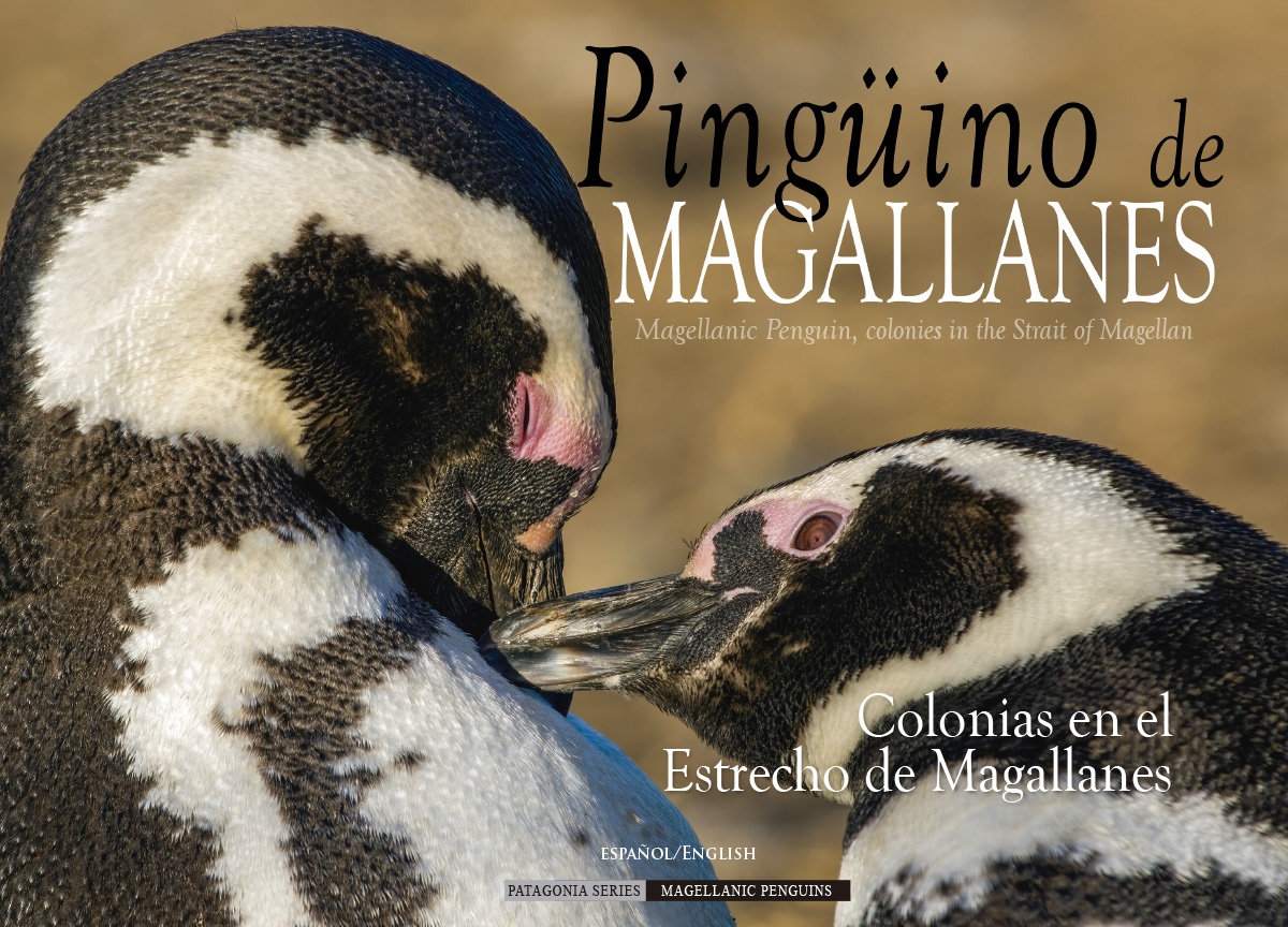
Un cautivador recorrido visual y narrativo sobre el pingüino de Magallanes. Este libro invita a explorar sus colonias en el Estrecho de Magallanes y el Seno Almirantazgo, así como los majestuosos entornos que las rodean, combinando de manera única la historia con la vida silvestre local.
A visual and narrative journey about the Magellanic penguin that will captivate you. This book invites you to explore their colonies in the strait of Magellan and the Admiralty sound, as well as the landscapes that surround them, combining history and nature in a unique experience.


Adventure Maps & Maps for Trekking
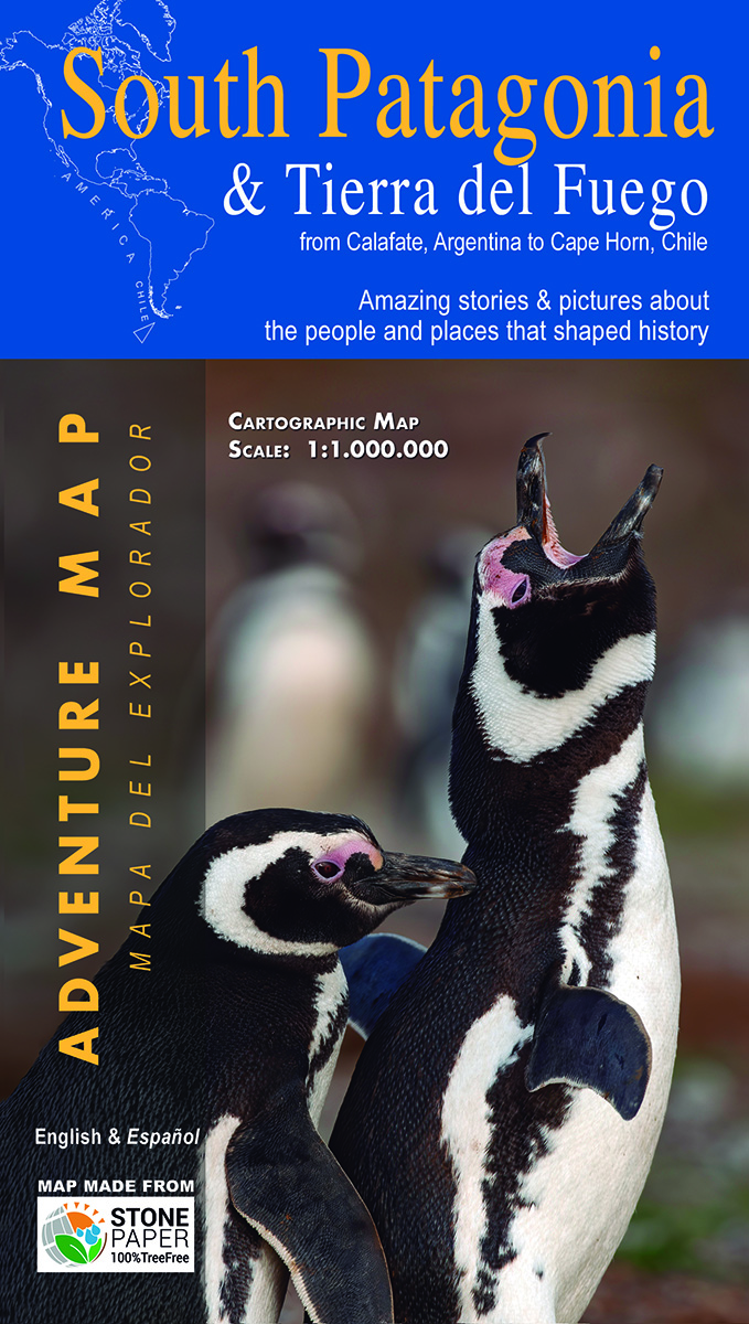
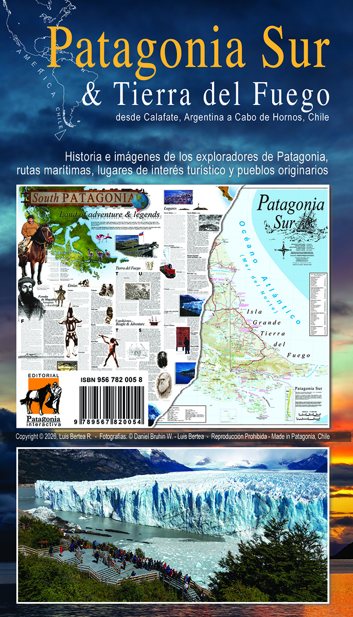
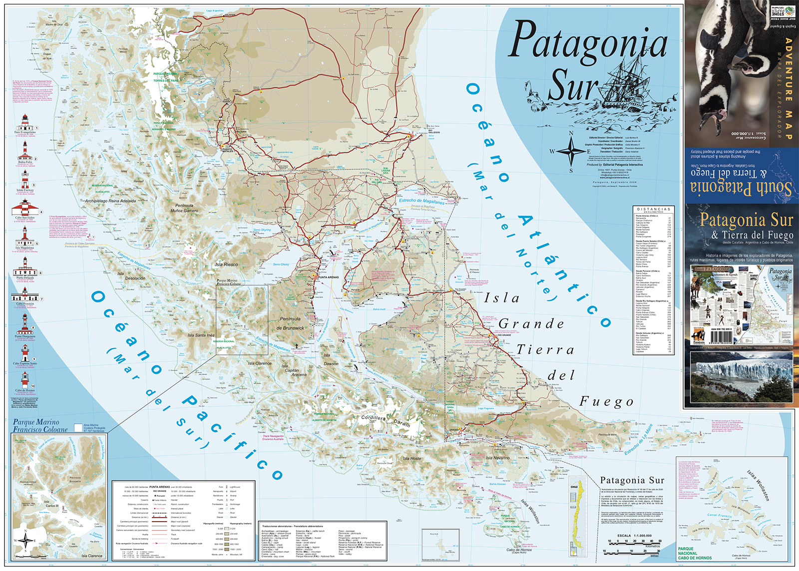
Cobertura: Desde El Calafate (Argentina) hasta el Cabo de Hornos (Chile).
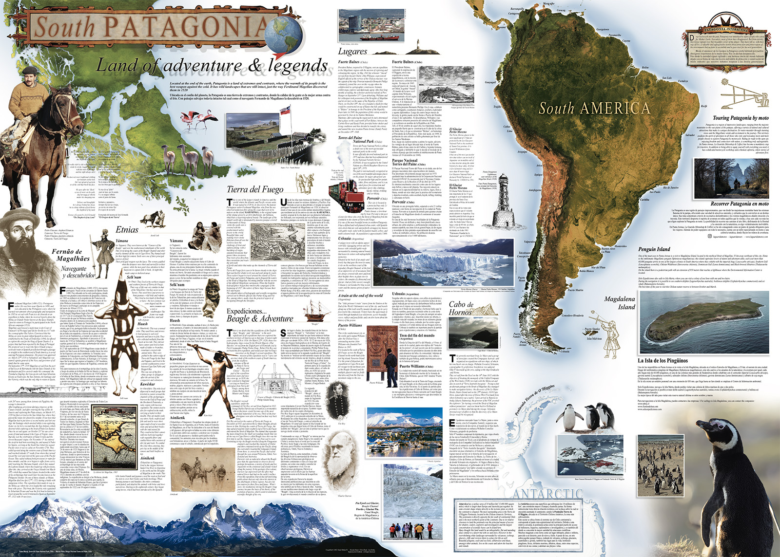
Contenido especial: Incluye relatos históricos e imágenes de los exploradores, pueblos originarios y los principales atractivos turísticos de la Patagonia.
Coverage: From El Calafate (Argentina) to Cape Horn (Chile). Includes amazing historical stories and pictures about the explorers, indigenous peoples and main tourist places in Patagonia.
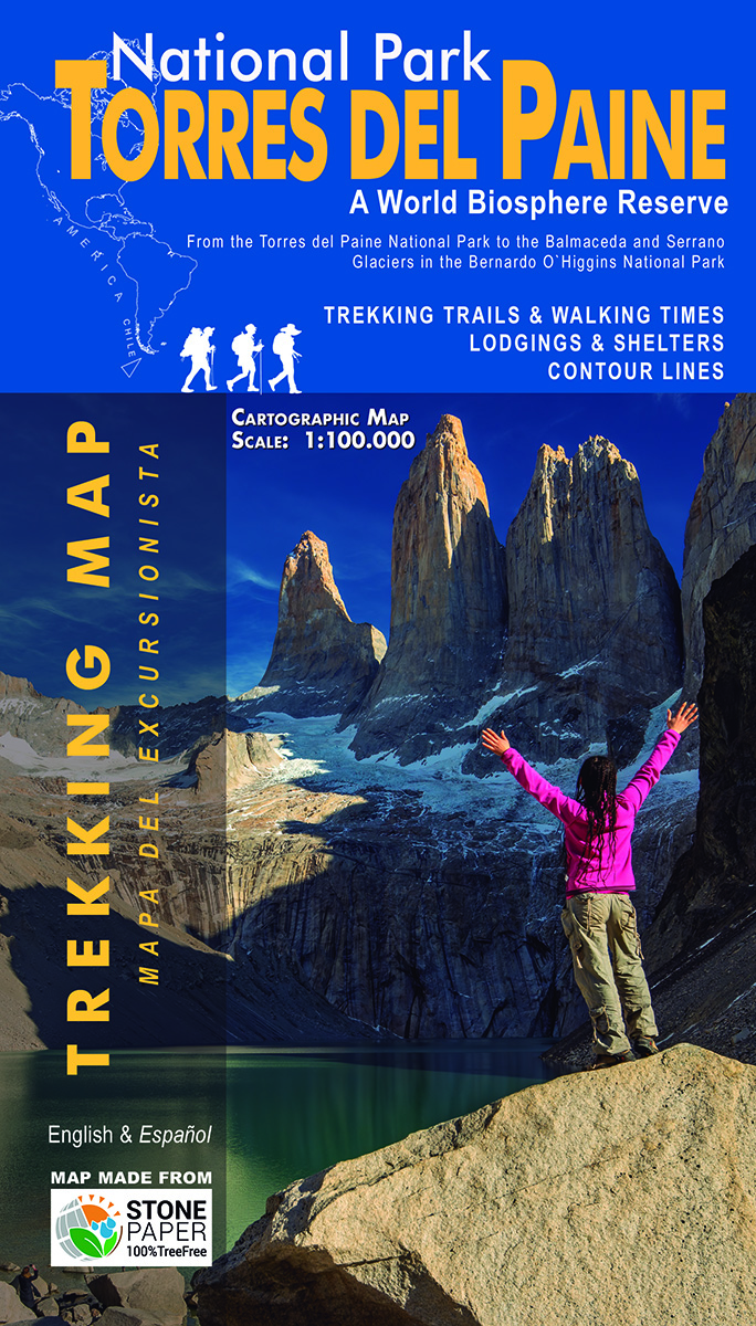
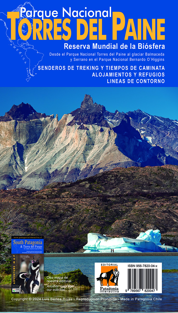
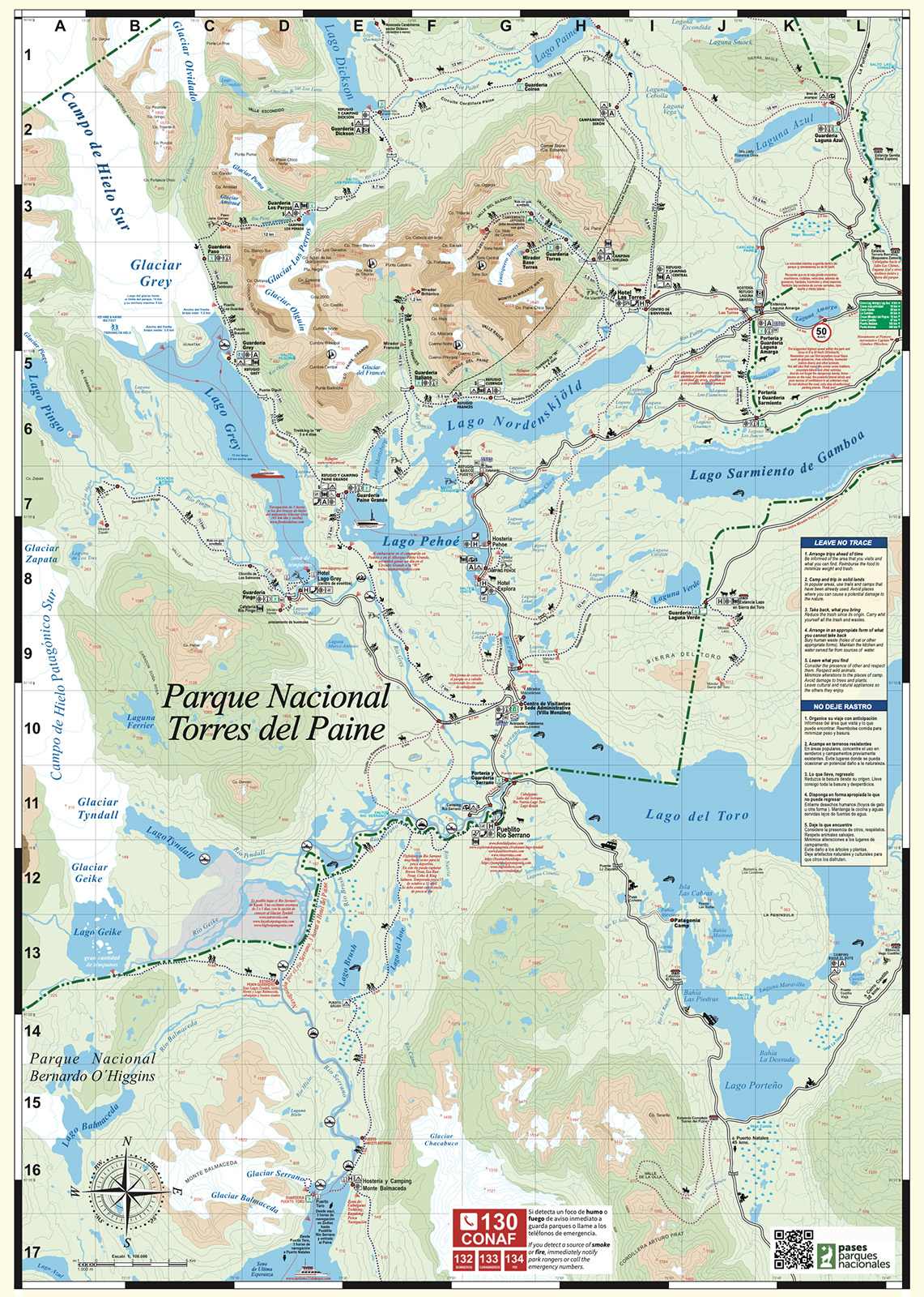
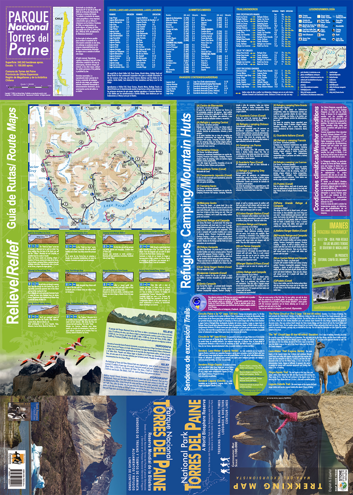
Diseñado especialmente para trekking: Una guía indispensable para terreno en la Reserva Mundial de la Biósfera.
Contenido técnico: Senderos de trekking con tiempos estimados de caminata, ubicación exacta de refugios y campings, y curvas de nivel detalladas para orientación.
Designed for Trekking: Includes detailed trekking trails, walking times, lodgings & shelters, and technical contour lines. A World Biosphere Reserve.
Vivian Seissus y Luis Bertea
Somos una pareja unida por el gusto de viajar, descubrir y fotografiar. Durante más de cuarenta años hemos recorrido la Patagonia por tierra, mar y aire, conociendo sus paisajes, su historia y la vida de quienes habitan este territorio.
Juntos desarrollamos una serie de CD-ROM multimedia turísticos y educativos, entre ellos Patagonia Interactiva, utilizado como material promocional y tecnológico clave en el pabellón de Chile; Tierra del Fuego Interactiva y El Viaje de Agua. Aquella experiencia fue el origen de un trabajo editorial que hoy continúa en MAPTERRA ediciones.
Luis es fotógrafo y editor. Durante más de catorce años participó en expediciones fotográficas por los fiordos y canales australes y el estrecho de Magallanes. También ha realizado travesías por Tierra del Fuego, Torres del Paine, isla Riesco y Sierra Baguales, además de visitar la Antártica en numerosas oportunidades. Actualmente desarrolla y edita libros de fotografía y mapas dedicados a la Patagonia y los territorios australes.
We are a couple brought together by a love of travel, discovery and photography. For more than forty years, we have explored Patagonia by land, sea and air, discovering its landscapes, history and the lives of those who inhabit this territory.
Together we created a series of tourism and educational multimedia CD-ROMs, including Patagonia Interactiva, which was used as key promotional and technological material in the Chilean pavilion; Tierra del Fuego Interactiva and El Viaje de Agua. That experience became the foundation of the editorial work we continue today through MAPTERRA ediciones.
Luis is a photographer and editor. For more than fourteen years, he took part in photographic expeditions through the southern fjords and channels and the Strait of Magellan. He has also travelled across Tierra del Fuego, Torres del Paine, Riesco Island and Sierra Baguales, and has visited Antarctica on numerous occasions. Today he develops and edits photography books and maps devoted to Patagonia and the southern territories.
El Stone Paper es una alternativa ecológica al papel tradicional hecha de polvo de piedra (80%) y resina reciclable (20%). Su producción no tala árboles, no gasta agua ni usa químicos corrosivos o blanqueadores. Es un material de tacto extrasuave, completamente impermeable y ultrarresistente.
Lo usamos en nuestros mapas y productos para ofrecerte la máxima durabilidad en condiciones extremas reduciendo el impacto ambiental. Es nuestra forma de cuidar el planeta, hoja a hoja.

Escríbenos por WhatsApp o correo electrónico para coordinar tu compra directa, incorporar nuestros títulos en el catálogo de tu tienda, museos o coordinar distribución para operadores turísticos.